Land surveying has long played a crucial role in shaping modern cities, infrastructure, and land ownership systems. It is an age-old practice, dating back to ancient civilizations, which has evolved with technological advances to provide accurate measurements and reliable data for various land-related projects. Today, the role of surveying remains just as important, particularly in rapidly growing regions. In cities like Regina, land survey services are indispensable for urban development, construction, and property management.
A Brief History of Land Surveying
The roots of land surveying stretch back thousands of years. Ancient Egyptians, for instance, used basic tools to measure and demarcate plots of land along the Nile River. Their work was fundamental to agriculture, as the river’s annual flooding would often wash away land boundaries. To re-establish property lines, surveyors used ropes, stakes, and rudimentary measuring tools.
Similarly, ancient Romans further advanced the practice by developing more precise instruments such as the groma, used for constructing roads, aqueducts, and public buildings. Roman surveyors were responsible for laying the groundwork for many modern infrastructure projects, demonstrating how accurate land measurement has always been vital for development.
Throughout the Middle Ages, surveying continued to progress in Europe, driven by the need for accurate land records and agricultural management. However, the most significant leaps in the field came during the Enlightenment, when scientific principles and instruments like theodolites and levels became standard tools. These advances laid the foundation for the highly precise and technologically driven land survey services we see today.
The Role of Modern Surveying in Urban Development
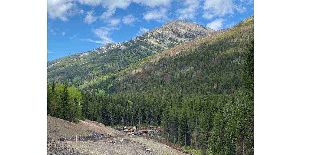
In contemporary times, land surveying is critical for managing land use, developing infrastructure, and ensuring property rights. In rapidly growing cities like Regina, where new housing, commercial developments, and public infrastructure projects are continuously evolving, land survey services in Regina are essential.
Surveyors today utilize advanced tools such as GPS, drones, and Geographic Information Systems (GIS) to deliver highly accurate data. These technologies have revolutionized the field, enabling professionals to conduct surveys more efficiently and accurately than ever before. Such precision is necessary to plan roadways, develop neighborhoods, and establish utilities like water and electricity with minimal environmental impact.
In addition to construction, surveying also plays a key role in land division and property transactions. When buying or selling property, accurate boundary measurements are crucial to ensure legal clarity. A land surveyor can confirm that the property boundaries match the legal descriptions, avoiding disputes and facilitating smooth transactions.
Environmental Impact and Sustainability
Another critical aspect of modern land surveying is its role in environmental conservation and sustainability. Accurate land measurements and topographical surveys are vital for assessing the environmental impact of a project before development begins. Surveyors help ensure that construction projects comply with local regulations and minimize harm to ecosystems.
In regions like Regina, where environmental concerns such as wetland conservation or floodplain management are essential, surveyors can provide invaluable insights. They help developers plan responsibly, ensuring that projects meet sustainability standards and reduce long-term ecological footprints.
Land surveying has come a long way since the days of ancient Egypt and Rome. The evolution of the field, from basic tools to the modern technologies of today, highlights its ongoing importance in shaping our cities and protecting our environment. Whether for infrastructure development, legal boundary definitions, or environmental protection, land survey services in Regina remain a cornerstone of responsible land use and planning.