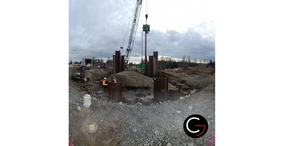
Land surveys are considered to be a very vast field of conducting studies of the earth’s surface and determining the position, in three dimensions, of natural and man-made features on or beneath the surface of Earth.
While land surveying has been conducted thoroughly and effectively for many years, it has been adapting itself to newer technologies. As the newer technologies come into play, the process of land surveying gets more accurate and provides better results.
WIth geomatics, land surveying has taken a giant leap in assisting civil engineers, surveyors, planners, government organizations, etc by delivering data that is useful for each of them.
Land surveys & geomatics services run in tandem with one another, with one complementing the other at each step. So, how do land surveys and geomatics services work together to help organizations & businesses in garnering the best results? Let’s find out.
Understanding Land Surveying
Land surveying is defined as the measurement and mapping of the land or physical environment using mathematics, specific technology, and instruments. Surveying caters to a lot of needs and requirements with solving problems like defining a land’s legal boundaries during its sale, purchase, or remodeling.
Moreover, surveying also solves a number of purposes like mapping the topography of the land, establishing the correct elevation, creating building layouts, and giving the right advice to civil engineers, architects, developers, geologists among other professionals.
Land Surveying & Geomatics Services
Geomatics uses a number of technologies to conduct land surveying effectively. With the help of geomatics, land surveying and its results have played an important role in understanding the feasibility of a project. Geomatics has further helped improve the decision-making and planning elements of any project.
Industries such as infrastructure, land administration, agriculture, urban development, mining, oil & gas, disaster management, defense, etc have been effectively using land surveys & geomatics services for quite some time now.
Furthermore, as land surveying becomes important, so does geomatics. With geomatics coming into the mainstream the public perception towards it has also evolved. Technologies such as LiDAR, GPS, ground penetrating radar (GPR), Drones & UAVs have positively impacted the utility of land surveying.
According to a study, the key hindrance to the overall growth of geomatics is the high cost involved around the geospatial analytics solutions.
However, technologies such as the Internet of Things (IoT), Big Data Analytics, Artificial Intelligence, virtual reality can consider being the key drivers of geomatics technology. With the introduction of these technologies, the costs involved in utilizing and implementing geomatics services is expected to drop drastically. As these costs come down, land surveys are expected to use these technologies in a more efficient and mainstream manner.
Conclusion
Classical surveying has undergone rapid change and transformation with the help of geomatics.
Technologies and methods like ground survey, global satellite positioning systems, digital photogrammetry, and multispectral remote sensing from airplanes and satellites at various resolutions have come into play.
One of the leading names that have been combining land surveys and geomatics services quite effectively is Core Geomatics.
With over a decade’s worth of existence and led by experienced individuals, the company has been able to inculcate the best technologies in remote sensing, geomatics, and environmental planning services such as natural sciences, monitoring, reclamation, and remediation services.
Find out more about Core Geomatics and their land surveys-geomatics services for your business today.


