Many individuals have heard of geomatics technology but are unaware of its significance in real life. However, Geomatics, often recognized as land surveying, is a well-established concept, and many geomatics experts are now practicing as professional land surveyors.
Geomatics is an innovative land surveying approach that is highly significant in today’s environment. Land surveying may be pretty beneficial, particularly regarding property protection. For example, purchasing a home is a substantial financial investment, and a qualified land surveyor may inspect your property to establish whether it is suitable for purchase.
Learn where and when geomatic services play an essential role.
Real property and real estate
Aside from surveying land for residences and other properties, a land surveyor might work in the real estate market.
For example, a land surveyor will determine whether or not the properties you are contemplating purchasing are in a flood-prone location. Then, after a thorough inspection, the surveyor will offer critical advice on other elements of the home.
Dividing land portions
Subdividing land is another important application of geomatics. People frequently prefer to split their land evenly among their offspring, so they do not complain about property division. geomatic services can assist individuals in partitioning the land into sections. Landowners may also utilize a soil survey if they want to sell pieces of the property.
Civil engineering projects
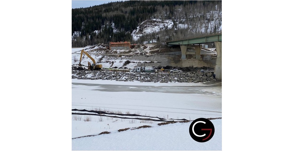
For civil engineers, land surveying is also highly significant. Civil engineers must undertake land surveying before starting any civil engineering construction and development, such as building bridges, roads, tunnels, or dams.
In addition, Geomatic is a crucial necessity of civil engineering works to determine national and state boundaries, create controlling points, compile a topographic map of the Earth’s land surface, and perform the hydrographic mapping.
As a result, geomatics services are a requirement in today’s world for the practical completion of building and development projects and precise land surveying.
What to expect from geomatic service?
Geomatics generates and makes public data and maps available, such as.
● Various paper and hard copy maps
● Digital items include:
● Orthophotos in coloured or black and white
● Streets
● Contours
● Water services
● Hourly custom mapping
Geomatic experts perform surveying and mapping on, above, and below the surface of the Earth to determine land borders, physical characteristics, and the surrounding structures.
These professionals create unique solutions for distant and challenging regions or complicated urban settings using GIS, GPS, aerial photogrammetry, and 3D laser scanners. Industrial, residential, roadway, aviation, rail, utility and power, oil and gas, environmental, government, and institutional developments are among the many that rely on geomatics.
Geomatics is the study of spatial data gathering, analysis, presentation, and management. The art lies in representing this data for legal purposes such as mapping, land definition, design, and building. Here are just a few of the services geomatic experts provide.
● Cadastral and boundary surveys
● Construction staking
● Topographic mapping
● Residential 3D laser scanning
● Builder layout
● Route surveys
● ALTA/ACSM surveys
● Control and geodetic surveys
● As-built surveys
● Photogrammetric mapping
● Hydrographic mapping
● Water rights surveys
● Subsurface utility construction
Geomatic services converts information in a database regarding a particular place into visual representations, such as streets, water features, buildings, and topography. The capacity to view geographic elements on a map helps analysts, planners, and others fully understand a location, making more knowledgeable decisions regarding their communities.