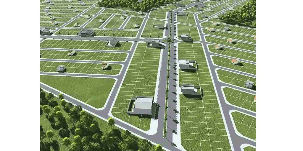
A wide gamut of technologies are commonly used in geomatics land surveying. In fact, Geomatics as a science includes various fields such as mapping, remote sensing, surveying, LiDAR or HDS scanning, GPS, GIS, hydrography, photogrammetry, etc.
Professional land surveyors routinely use satellites, sonar, 3D scanning, and drone technology and many software for carrying out the various stages of geomatics surveying. They are specifically useful in measuring, mapping, and noting precise dimensions of a property’s official boundaries. In addition, all land structures, waterways, and airspaces are also demarcated through these technologies.
The current write-up will highlight some (of the many) technologies applied in geomatics surveying.
Defining Geomatics
As the definition goes by, Geomatics refers to the measurement, analysis and management of data about land as well as buildings. It is also referred to as surveying engineering or geospatial science.
To be precise, geomatics is primarily a discipline involving gathering, processing, and delivering geographic or spatially referenced data/information.
What Is Geomatics Surveying?
Geomatics word is derived from geo (for Earth) or studying the Earth and its related phenomena and processes, and matics referring to mathematics. Thereby indicating that geomatics surveying is conducting surveys using the mathematical relationships about Earth’s processes, relationships and phenomena.
Technologies Used In Geomatics Surveying
Geomatics surveying involves the application of systematic, multidisciplinary, and integrated approach for conducting surveys.
Let us take a closer look at the various technologies used for land surveying –
1. Satellite Positioning Systems
The satellite positioning systems are used for measuring the features or precise points from space. The data collected in the process is then useful in controlling large infrastructure projects. In addition, this also helps to gather data for in-car navigation systems.
2. GIS
GIS is a high-tech software used for creating programs like Google Maps.
3. Deep Tows
Deep tows are deep ocean floor survey systems fitted with sonar or cameras. Using a cable, these are towed at low speeds through water. This helps to measure large and extensive lengths.
5. 3D Laser Scanners
These instruments are used by surveyors to provide data to architects to accurately visualise the land they are going to build or design on.
Benefits Of Using Technologies For Geomatics Surveying
The various technologies and advanced precision systems applied at different stages in geomatic surveying offer undisputed benefits. Automating large-scale activities helps to perform tasks otherwise considered cost-inefficient. Without an iota of doubt with easy access to modern equipment and technology a substantial amount of manpower as well as finance is saved for humongous data collection processes, field visits and their analysis.
1. Saves time
2. Saves laborious man hours by automating a few tasks
3. Cost effective methods
4. Efficiency in scale
CORE Geomatics
A reputed and expert land surveying firm having carved a niche in geomatics surveying, CORE Geomatics has been an industry leader since 2009. Equipped with the best equipment, latest machinery, innovative practices and technologies, the company successfully caters to big and small clients across residential and commercial sects.


